UPSC
|
17 April 2023 04:26:16
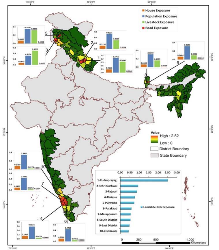
Landslide Atlas of India

The National Remote Sensing Centre of ISRO has Recently released the Landslide Atlas of India.
The Atlas is a database of landslide-prone regions of India from 1998-2022.
It covers landslide-vulnerable regions in 17 states and 2 UTs of India.
The mapping was done using the data from IRS-1D PAN+LISS-III, Resourcesat-1, 2 and 2A LISS-IV Mx, Cartosat-1 and 2S, and International satellites.
Landslide is defined as the rapid movement of rock, soil, and vegetation down the slope under the influence of gravity.


